Skinny Tire Festival
March 8th - 11th 2025 •Moab, Utah
Why We Ride?
The Skinny Tire Festival isn't just about riding bikes. It's about saving lives. This is why we donate $15 for every paid registration to the Moab Cancer Treatment Center.
24th Annual Skinny Tire Festival
March 8th - 11th, 2025
Moab contains some of the best road biking in the world. There are hundreds of miles of paved roads in and out of the world-class scenery that is known by every adventure seeker globally.
This 4-day spring cycling festival rides the best of the best:
Arches National Park
Along the mighty Colorado River
Dead Horse Point State Park and back.
Scroll down for detailed route information.
Your Registration Options
OPTION 1 - The Four-Day Pass
Ride all 4 days (Saturday - Tuesday), including the coveted ride through Arches National Park! This is the full festival experience and often sells out early. Lunch is provided on days 1, 2, and 3.
OPTION 2 - The Two-Day Pass
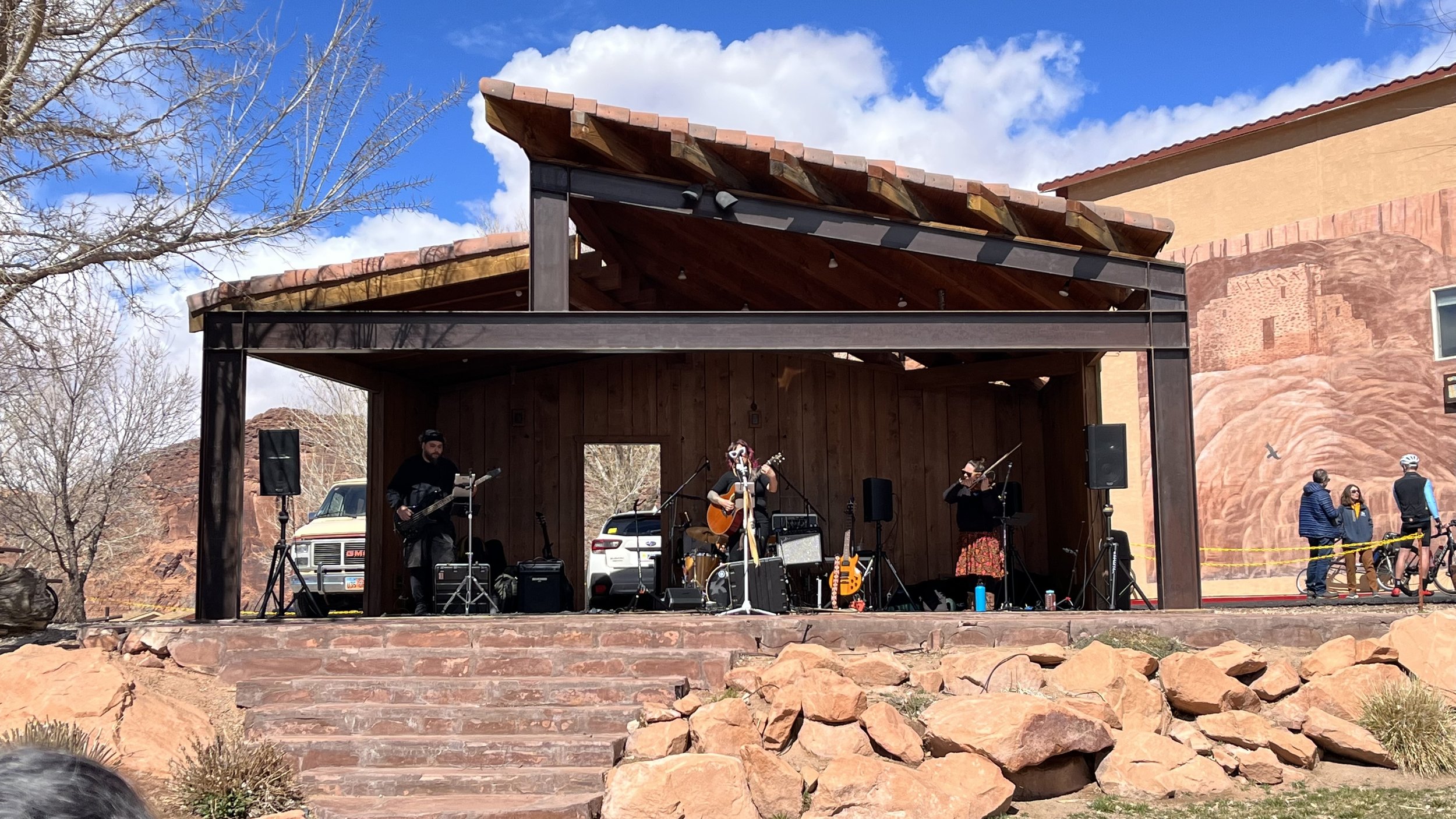
For those who can only join us for the weekend, the two-day pass (Saturday & Sunday) is the way to go! You’ll ride up to Dead Horse Point State Park on day 1, and along the Colorado River on day 2. Lunch and festival atmosphere post-ride offered on both days.
Route & Ride Descriptions
For all the rides there is SAG vehicle support and Aid Stations equipped with water, real food, cheery volunteers to assist you, and event communication volunteers who help keep all of us communicating! Below itinerary and details subject to change.
Day 1: Dead Horse Point State Park
Mileage: 64 miles, Detailed GPS Map
Elevation Gain: 3580'
Shorter Option? Yes
# of Riders: Unlimited
Start: Aarchway Inn Hotel, Group Start
Lunch: Served post-ride.
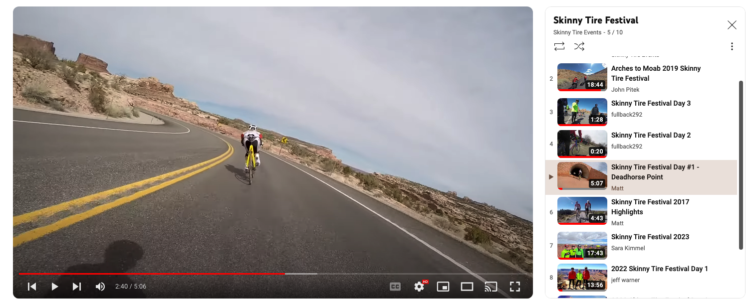
For riders, this is one of the “Festival Favorites”, with its breathtaking views, generous bike lane, and minimal cars. The route gradually gains 3,800 ft on the way up. Like any good tour, the festival will wind up with a descent back to the start. *Alternate: Start at the intersection of Hwy 313 and Hwy 191 north of Moab.
Day 2: Colorado River
Mileage: 48 miles, Detailed GPS Map
Elevation Gain: 2550'
Shorter Option? Yes*
# of Riders: Unlimited
Start: Start on your own.
Lunch: Served post-ride.
This fantastic ride follows the Colorado River for great social spinning. The route immediately places you in the river corridor at the foot of towering sandstone cliffs. The terrain here is rolling hills with a few short climbs; moderate grades. *Alternate: Start at Red Cliffs Lodge located on HWY 128.
Day 3: Arches National Park
Mileage: 42 miles, Detailed GPS Map
Elevation Gain: 3870'
Shorter Option? Yes, request shuttle into Park
# of Riders: Limited to 400 Why the limit?
Start: Start on your own
Lunch: Provided at Devils Garden (inside the park)
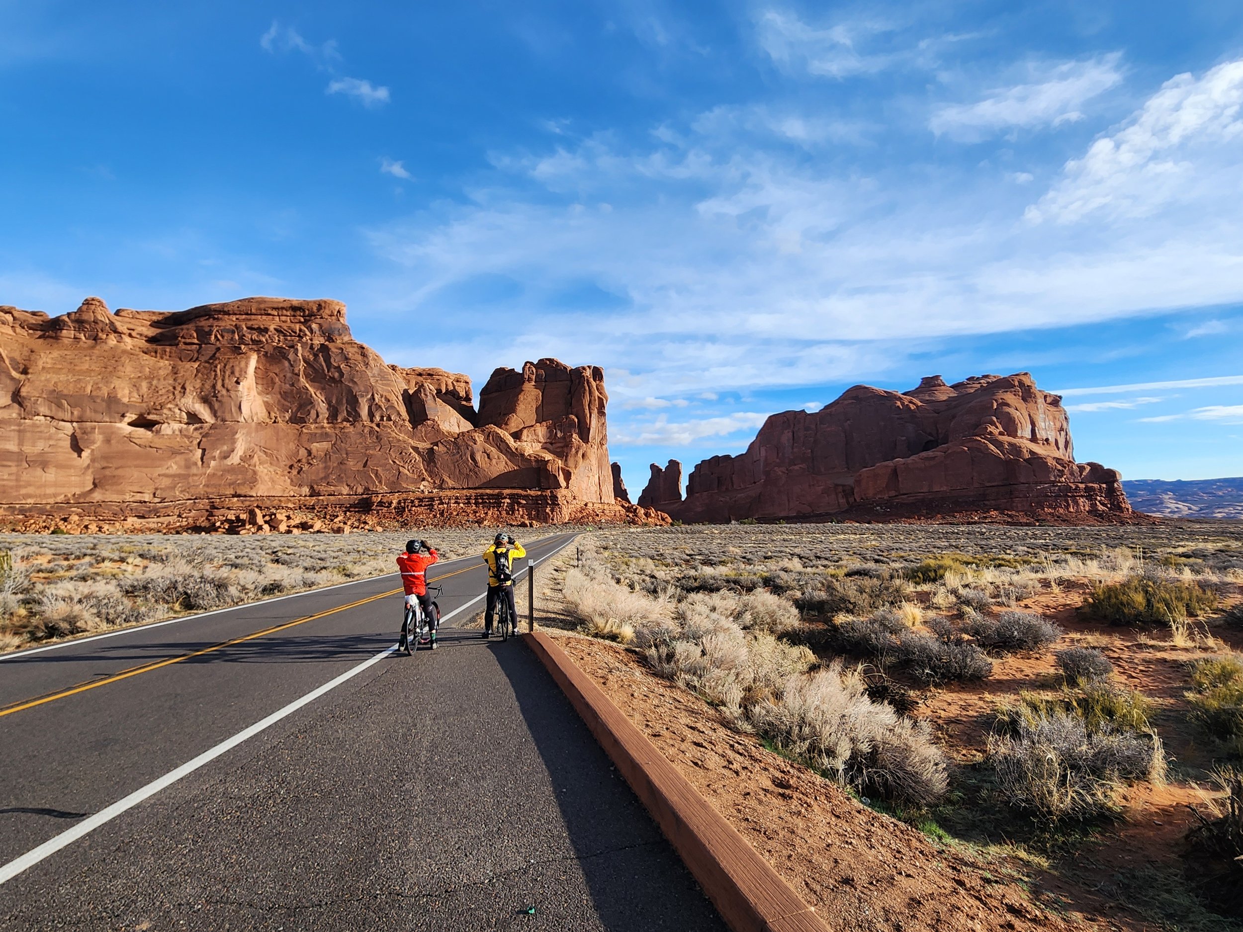
The crown jewel of rides, touring through this National Park will leave you breathless for its scenery and awe-inspiring views. Discover a landscape of contrasting colors, landforms, and textures unlike any other in the world. The park has over 2,000 natural stone arches, in addition to hundreds of soaring pinnacles, massive fins, and giant balanced rocks. This red-rock wonderland will amaze you with its formations, refresh you with its trails, and inspire you with its sunsets.
Day 4: River Portal, Potash Rd
Mileage: 38 miles, Detailed GPS Map
Elevation Gain: 1,380'
# of Riders: Unlimited
Shorter Option? No
Start: Start on your own
Lunch: Not Provided
Highway 279 is a favorite among local roadies because of its unbroken cadence. After passing through "The Portal," the Colorado River begins its cut through the impressive sandstone. The road meanders alongside the tranquil river, maintaining a flat profile through some of the most astounding topography imaginable. Red rock walls rise hundreds of feet straight up from the shoulder of the road as it cuts tightly along the river. For miles you'll spot climbers plying the walls next to 1,000-year-old Anasazi petroglyphs carved in the ancient rock wall.
